Most buyers arrive with the same mental model of a Caribbean island: the windward side is rough, the leeward side is calm, so buy on the leeward side. In Antigua, that model will cost you. Antigua’s Meteorological Service issues surf advisories for exposed coastlines, including northern and eastern shores during some events. Winter swells can make northern and north-facing coastlines particularly hazardous.
So the direction a coast faces is not a detail you settle later. Each coastal area decides most of what follows, including the following five:
Which Way the Shoreline Actually Faces
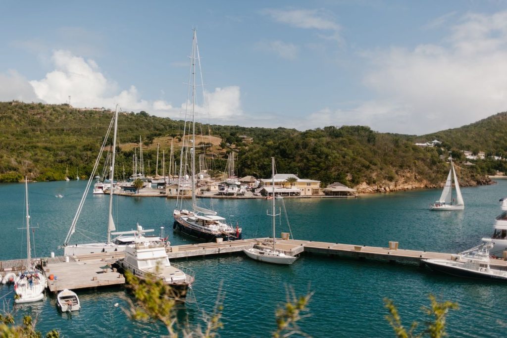
Antigua’s coastal conditions vary with shoreline orientation, local geography, and incoming wind and swell. The east coast is exposed to persistent trade winds, while northern coastlines can experience significant winter swells. Bays such as Dickenson Bay and Hodges Bay should not automatically be assumed to be sheltered. Before buying, check local exposure and the Meteorological Service’s surf advisories.
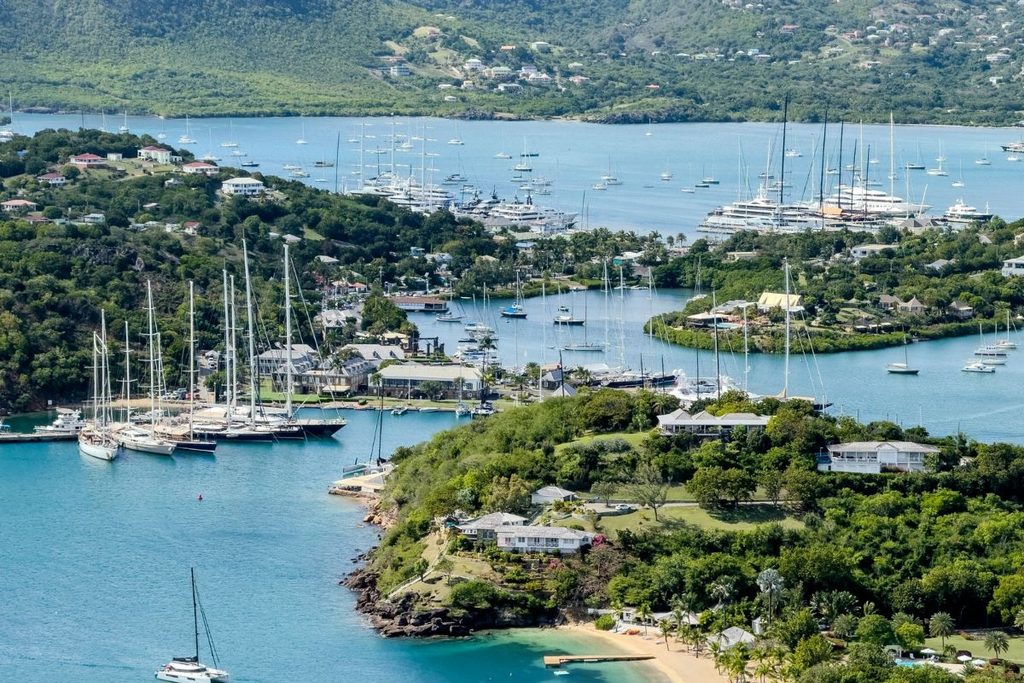
When exploring Antigua homes for sale, assess coastal exposure before choosing a property. English Harbor, Falmouth Harbor, and parts of the west coast may offer more sheltered conditions, depending on local geography and incoming swell. Nonsuch Bay on the east coast also has a protected setting, illustrating why buyers should assess the individual bay rather than assume that an entire coast has uniform conditions.
Sargassum, and Which Coast Gets It
The newest problem on this list, and the one least likely to come up at a viewing.
The University of South Florida has monitored Atlantic sargassum blooms in the Atlantic and Caribbean using satellite observations. In May 2025, the combined sargassum abundance across monitored regions reached a record 37.5 million metric tonnes. June 2026 recorded the second-highest abundance of the Great Atlantic Sargassum Belt in the satellite record, behind 2025. These regional figures highlight the scale of the problem but do not indicate how much seaweed reaches Antigua’s beaches. Sargassum can reach Antigua’s shores, but beaching varies by location and season. Before buying, ask who handles beach cleanup and how much sargassum accumulated at the bay in recent summers. Regional forecasts cannot reliably predict conditions at individual beaches.
Whether the Beach Is Growing or Shrinking
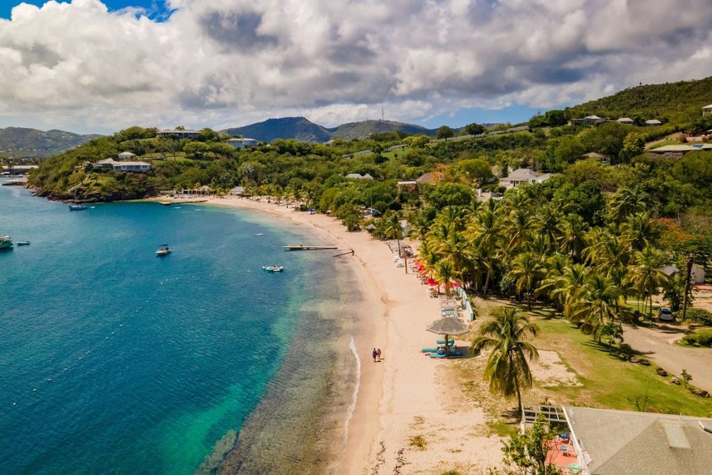
Antigua publishes beach profile data in its national reporting to the UN climate convention, and the figures are more specific than most buyers expect.
Antigua’s national climate reporting identifies coastal erosion as a risk in several areas, including Dickenson Bay and Fort James. However, short-term beach measurements can fluctuate, so they should not be treated as long-term forecasts. Before buying, ask for the longest available erosion record for the beach in front of the property.
What You Are Allowed to Build, and Where Your Land Stops
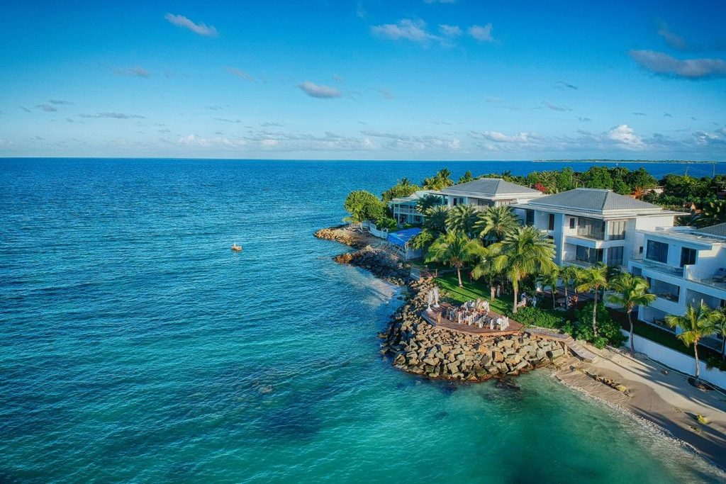
Two things here, and they compound. The foreshore and seabed are vested in the Crown under Antigua and Barbuda’s Beach Control Act, subject to the Act’s provisions. Proposed coastal structures, such as docks, jetties, sea walls, or groynes, may require planning permission and a separate license or authorization for work involving the foreshore or seabed. Confirm the requirements with the Development Control Authority and the relevant Crown land authority before proceeding.
How close you can build to the water depends on the applicable planning rules and site-specific permissions. Antigua and Barbuda’s published land development regulations include a provision stating that buildings must be at least 50 feet from the high-water mark, unless a specific exception is granted. They also address development on land between a shoreline and a road, including a 100-foot requirement measured from the mean shoreline to the road right-of-way. The applicable requirements and any exceptions should be confirmed with the Development Control Authority (DCA) for the specific parcel.
Get written confirmation from the DCA rather than relying on what a neighbor built. Coastal protection measures can have unintended effects on neighboring shorelines. Before installing boulders or other erosion-control structures, consult a qualified coastal engineer and confirm whether the proposed work requires permission.
How the House Was Actually Built
Salt is the coastal cost nobody quotes. Research in a tropical coastal environment in Cuba found high chloride exposure and classified the site in an aggressive atmospheric corrosion category. Conditions vary by location, so these findings should not be treated as direct measurements of Antigua’s coastline.
The finding that matters is about reinforcement. The Cuban study found that concrete durability depended on the water-cement ratio and reinforcement cover. Its findings highlight how concrete mix and cover depth can affect corrosion risk, although its predicted service life should not be assumed to apply to properties in Antigua.
So ask about cover depth and mix, ask whether structural fixings are stainless, and bring a surveyor who has worked this coast. Salt exposure generally decreases with distance from the shoreline, but the extent varies with local conditions. A house set back from the beach may face a different corrosion risk from one directly on the sand.
Conclusion
None of this argues against buying on Antigua’s coast. It argues for knowing which coast.
The aspect decides the sea state. The sea state determines erosion and salt. And those two combined decide what the house costs to keep. Work that out first, because let’s be honest: the view is not the only thing you are buying.
Images courtesy of unsplash.com and pexels.com