The Philippines has more than 7,600 islands, with landscapes ranging from the limestone lagoons of Palawan to volcanic peaks, coral reefs and sandbars that change shape with the tide. These features give photographers clearly defined subjects, but reaching the right position may involve domestic flights, ferries, small boats or walks to elevated viewpoints.
Light, weather and tidal conditions can substantially change how each location appears. A sandbar visible at low tide may disappear several hours later, while seasonal rain can affect water clarity and access to coastal viewpoints. UK travellers planning a photography-led trip should therefore check transfer times, sunrise and sunset positions, tide tables and local access arrangements. The five destinations in the Philippines below each provide a distinct visual subject, along with practical details for reaching and photographing it.
Reaching El Nido’s Lagoons via Puerto Princesa
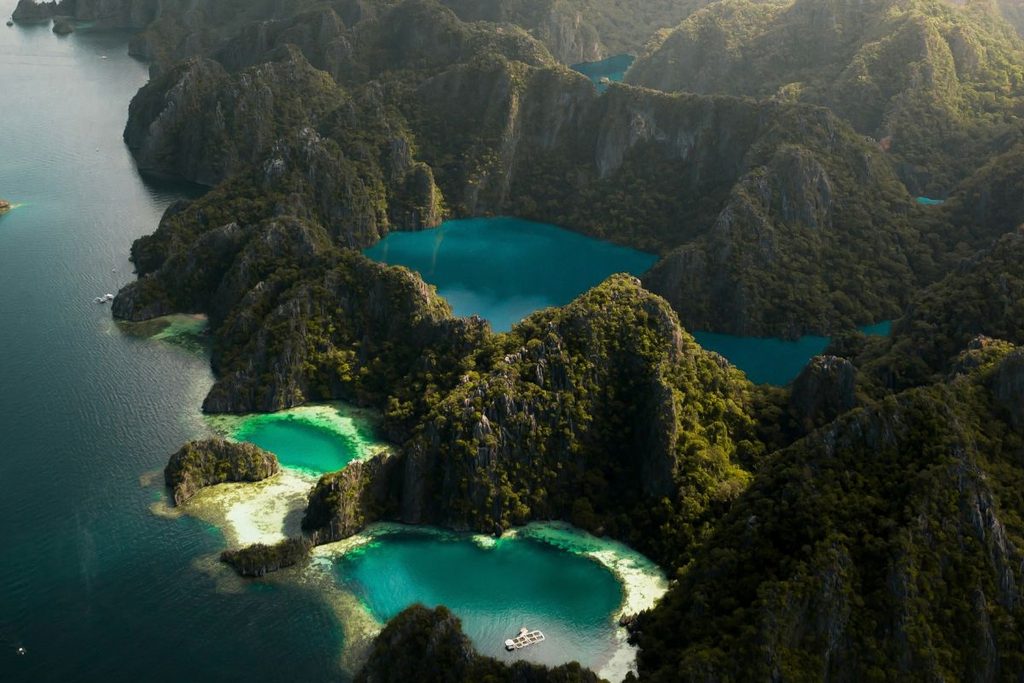
El Nido lies in northern Palawan, where the Bacuit Archipelago contains limestone islands, sheltered lagoons and narrow waterways. Although some visitors fly directly to El Nido, Puerto Princesa International Airport remains a common entry point for travellers continuing north by road.
Taking a bus from Puerto Princesa to El Nido involves a journey of approximately 220 kilometres, with travel times commonly ranging from five to seven hours. Services pass through inland towns and sections of winding road before reaching the transport terminal in Corong-Corong. Travellers should check the departure point, baggage allowance and current timetable before booking, particularly when connecting from a flight.
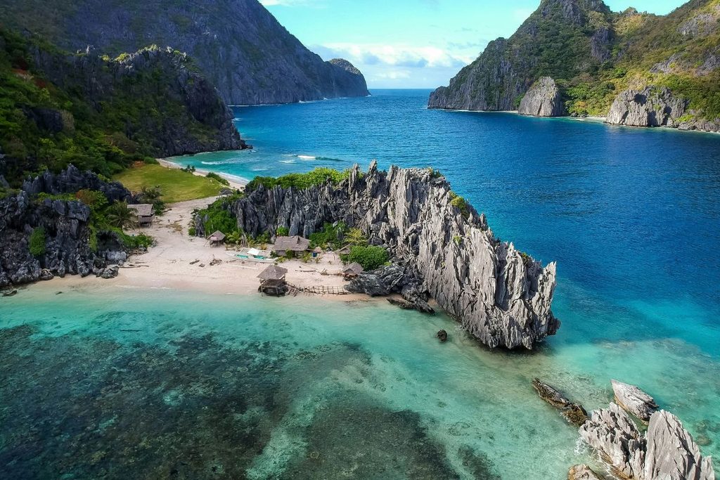
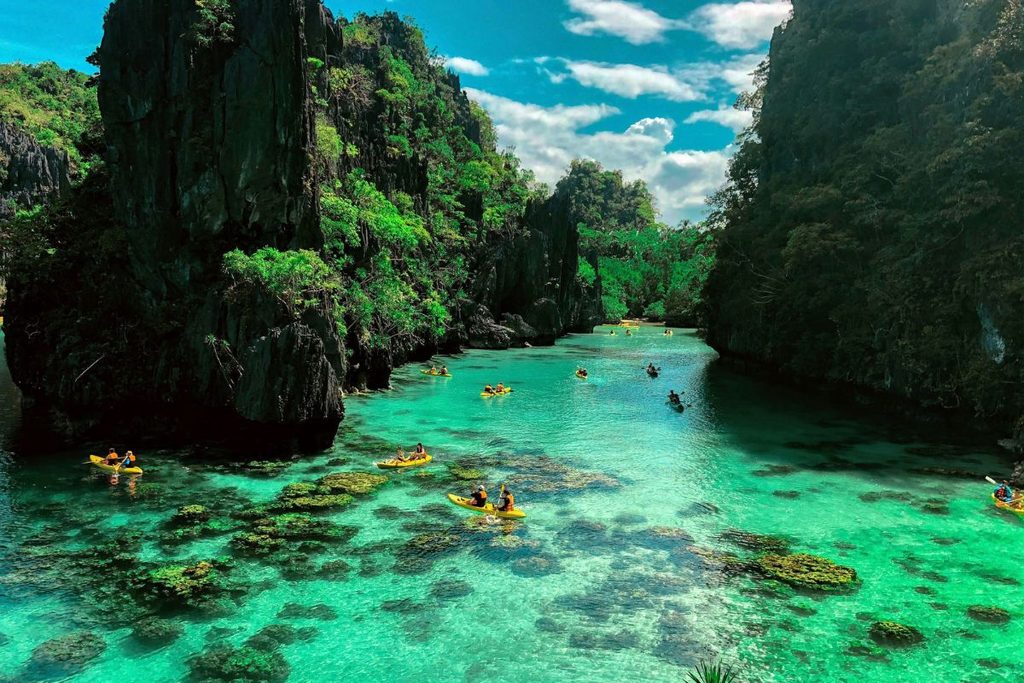
From El Nido, licensed boat tours provide access to Big Lagoon on Miniloc Island. Visitors transfer to kayaks near the entrance and paddle between the surrounding limestone walls. Reflections are clearest when the water is calm, while the direction and intensity of the light change throughout the day. Access may involve reserved time slots, environmental charges and separate lagoon fees. Photographers should confirm current arrangements with an authorised operator before departure, as visitor limits and charges can change.
Framing Cloud 9 and Island Hopping in Siargao
Siargao Island in Surigao del Norte is widely associated with surfing in the Philippines, particularly the reef break at Cloud 9 near General Luna. Its wooden boardwalk extends across the reef and provides an elevated position for photographing surfers. Wave conditions, tides and competition schedules affect access and activity, so photographers should check local conditions before visiting.
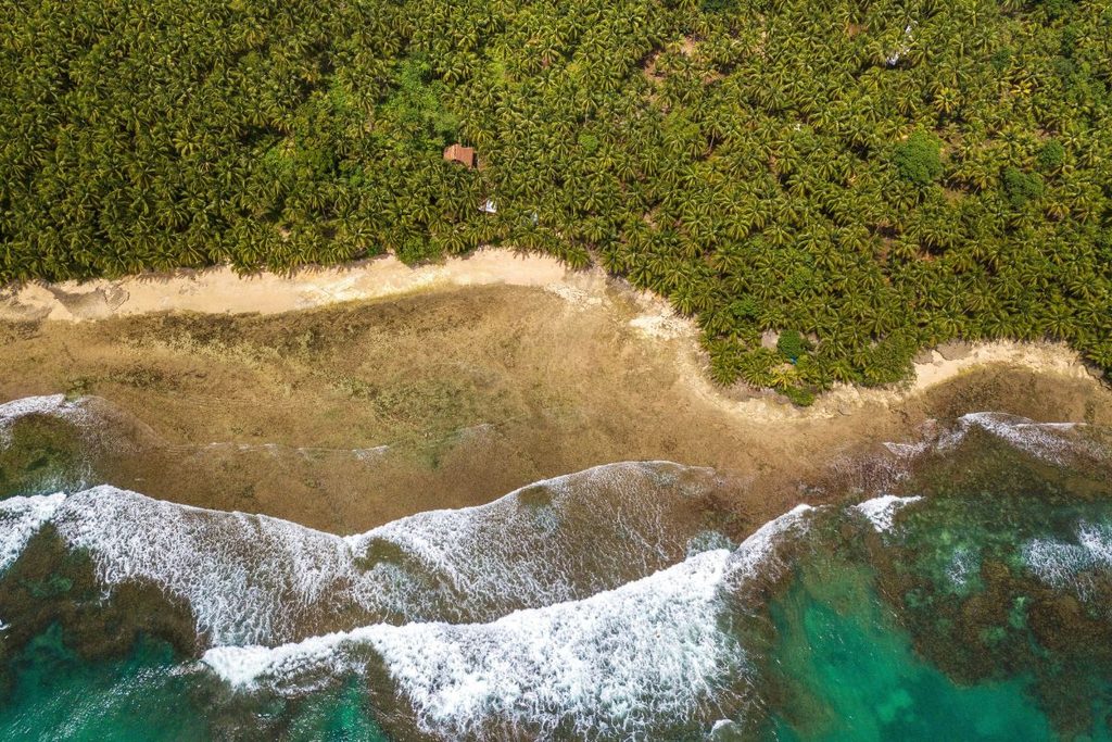
Palm-lined roads provide another recognisable subject, but drone operators must check current aviation rules, local restrictions and weather conditions before flying. Offshore, outrigger boats leave General Luna for Guyam, Naked and Daku islands. Guyam is a small, palm-covered islet, while Naked Island is an exposed sandbar without permanent vegetation. Daku is the largest of the three and has beach shelters and a resident community. Tide levels influence the amount of sand visible around each island, making departure timing important for photography.
Magpupungko Rock Pools lie on Siargao’s eastern coast near Pilar rather than along the island-hopping route. The pools become visible at low tide when the reef shelf is exposed. Visitors should check tide tables and current access arrangements before travelling, as the pools may be covered at high tide.
Photographing Bohol’s Rolling Chocolate Hills
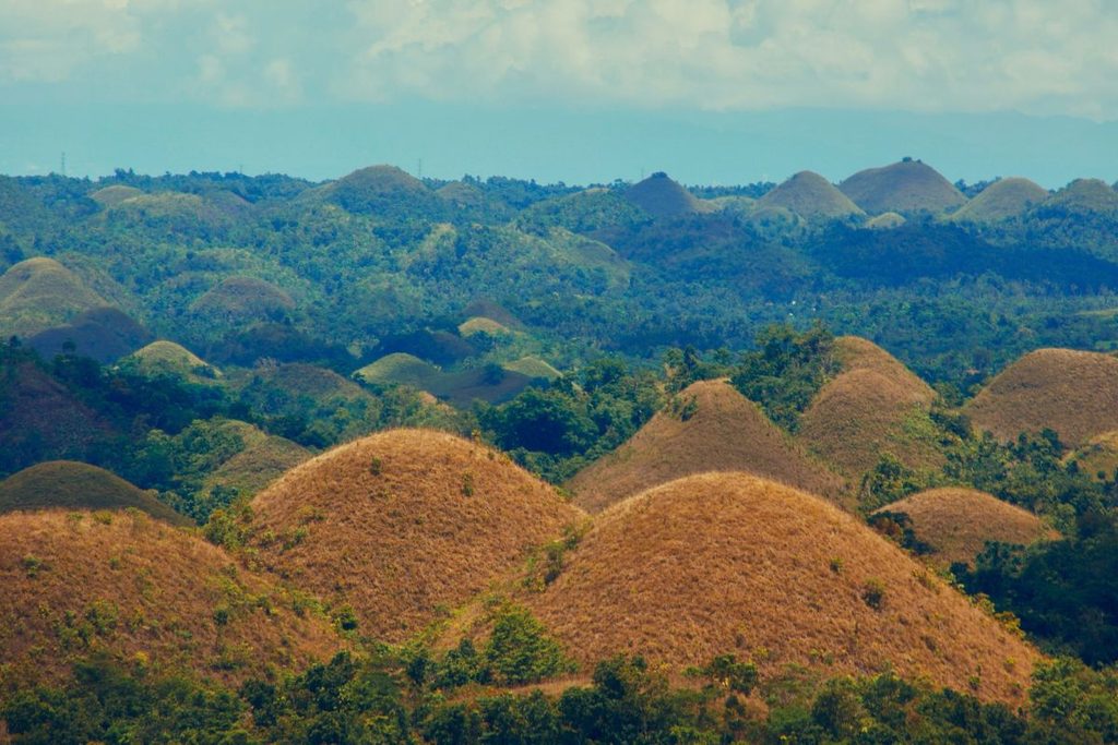
More than 1,200 grass-covered hills extend across approximately 50 square kilometres of central Bohol, with the best-known viewpoint located near Carmen. The formations range considerably in height and are composed mainly of limestone. Their precise geological development remains debated, although geologists broadly attribute their formation to the long-term erosion of uplifted limestone.
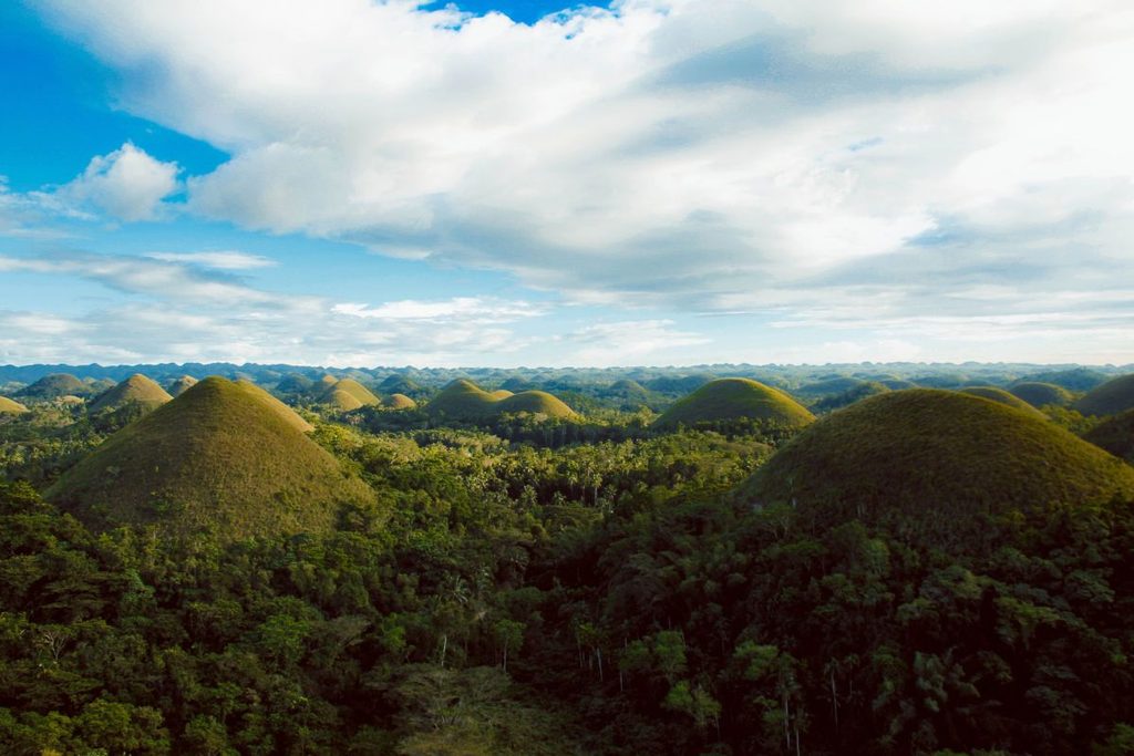
During the later dry season in the Philippines, the grass covering the hills can turn brown, producing the colour behind their name. The main viewing complex is reached by climbing more than 200 concrete steps and provides a wide view across the repeating formations. Side lighting in the morning or late afternoon makes the contours easier to distinguish, while haze, cloud and seasonal vegetation can change the appearance of the landscape. Opening hours should be checked before planning sunrise or evening photography.
A journey through central Bohol can also include the Philippine Tarsier Sanctuary in Corella. Tarsiers are sensitive nocturnal animals, so visitors must remain quiet, avoid flash photography and follow staff instructions. The Bilar Man-Made Forest provides a contrasting roadside subject, with rows of planted mahogany trees forming a canopy above the road. Photographers should remain aware of passing traffic and avoid standing in the carriageway.
Capturing Emerald-Green Wrecks Beneath Coron Bay
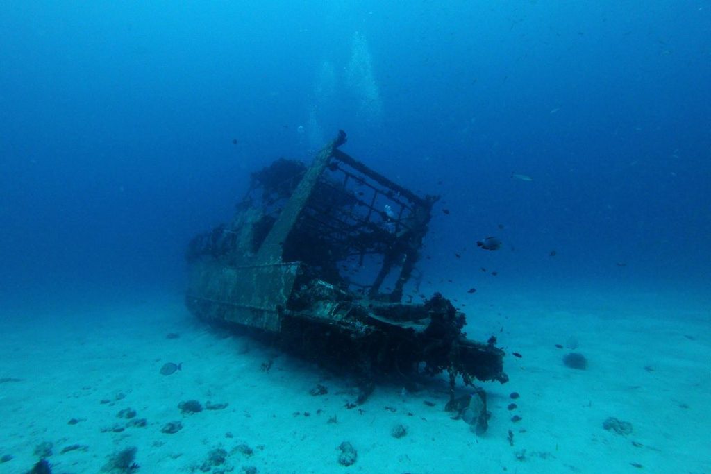
Coron Bay in northern Palawan contains Japanese ships sunk by US Navy aircraft in September 1944. Several wrecks lie within recreational diving depths, although their depth, current and level of structural exposure differ. Visibility also changes with weather, tides and sediment in the bay.
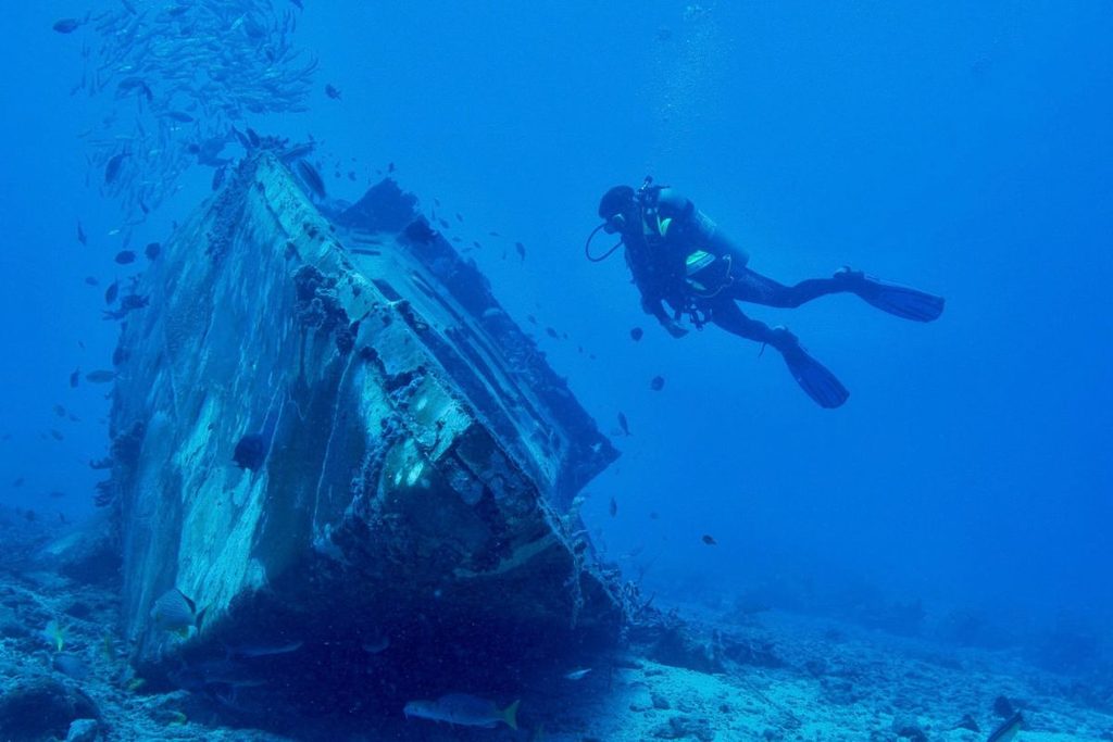
Wrecks visited by recreational divers include Irako, Akitsushima and Olympia Maru, where steel hulls provide habitat for corals, sea fans and schools of fish. Wide-angle equipment helps photographers frame larger sections of the vessels, while underwater lighting can restore colours absorbed at depth. External sections may be accessible to suitably certified recreational divers, but entering cargo holds and enclosed passageways requires specific wreck-diving training. Divers should follow a qualified local guide and avoid touching the deteriorating structures or marine growth.
Barracuda Lake on Coron Island provides a different underwater subject. The karst lake is enclosed by steep limestone walls and contains layers of fresh and salt water. A thermocline can produce sudden temperature changes and visible distortion underwater. Photographers should confirm current access rules and diving conditions, as the lake’s depth and temperature shifts require appropriate experience and supervision.
Chasing Camiguin’s Volcanic Peaks and Hot Springs
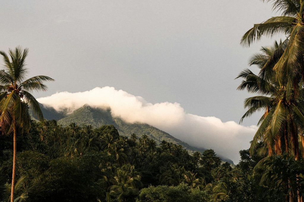
Camiguin’s volcanic landscape is shaped by several peaks and domes, including Mount Hibok-Hibok and Mount Timpoong. Their forested slopes rise behind coastal roads, creating a recognisable backdrop from viewpoints around the island. Mount Hibok-Hibok can also be climbed, but the route requires current registration arrangements and a local Philippines guide.
Off the northern coast, White Island is an uninhabited sandbar whose outline changes with tides, currents and seasonal conditions. Local bangkas travel to the sandbar from the Agoho area, with Mount Hibok-Hibok visible across the water when skies are clear. Photographers should confirm the first available departure and check the weather, as boats may not operate before sunrise..
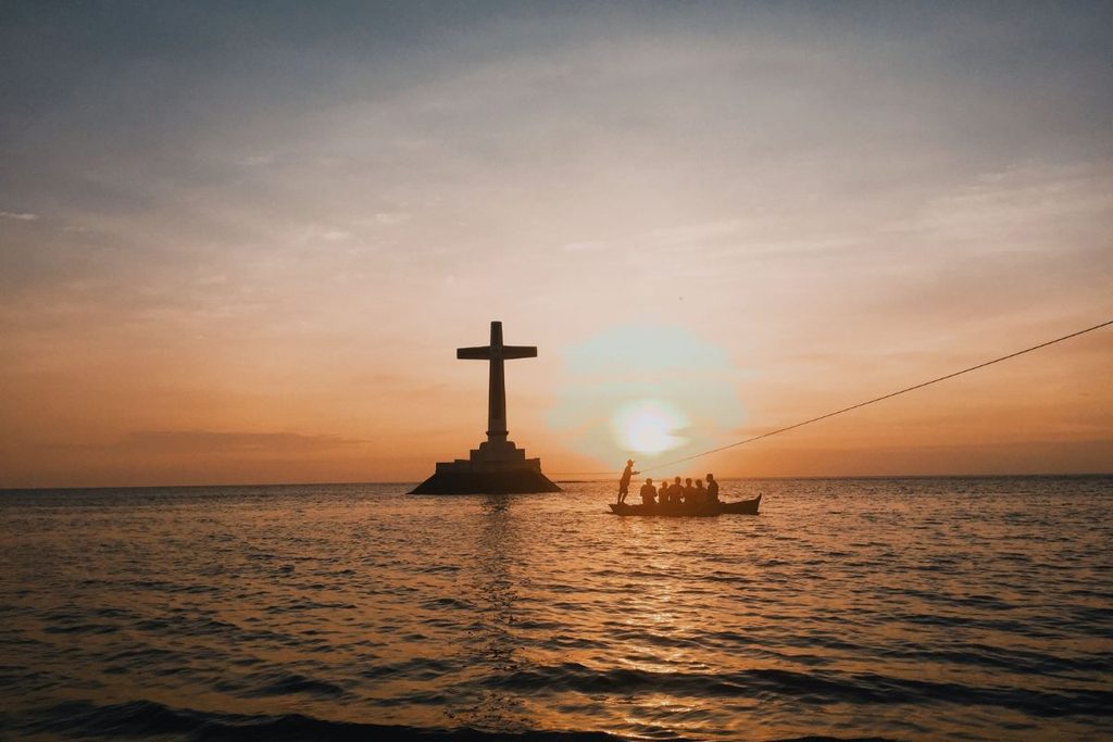
Near Bonbon, the Sunken Cemetery marks an area affected by the 1871 eruption of Mount Vulcan. A large cross standing offshore provides the main photographic subject, particularly when viewed against the evening sky. Inland, Ardent Hot Springs has stone pools fed by naturally warmed water, although temperatures can vary. Katibawasan Falls provides another subject, with water dropping approximately 70 metres into a pool below. Current access conditions should be checked before visiting either site.
Which view deserves your camera roll?
The strongest photographs from the Philippines depend on being in the right place under the right conditions. Calm water affects reflections inside El Nido’s lagoons, tides reshape Siargao’s rock pools and Camiguin’s White Island, and seasonal vegetation changes the colour of Bohol’s hills. Photographing Coron’s wrecks involves different considerations, including diving experience, underwater visibility and specialist camera equipment.
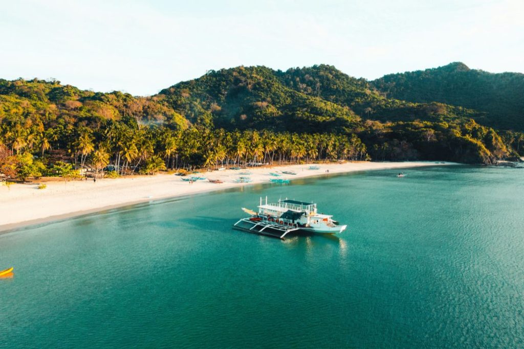
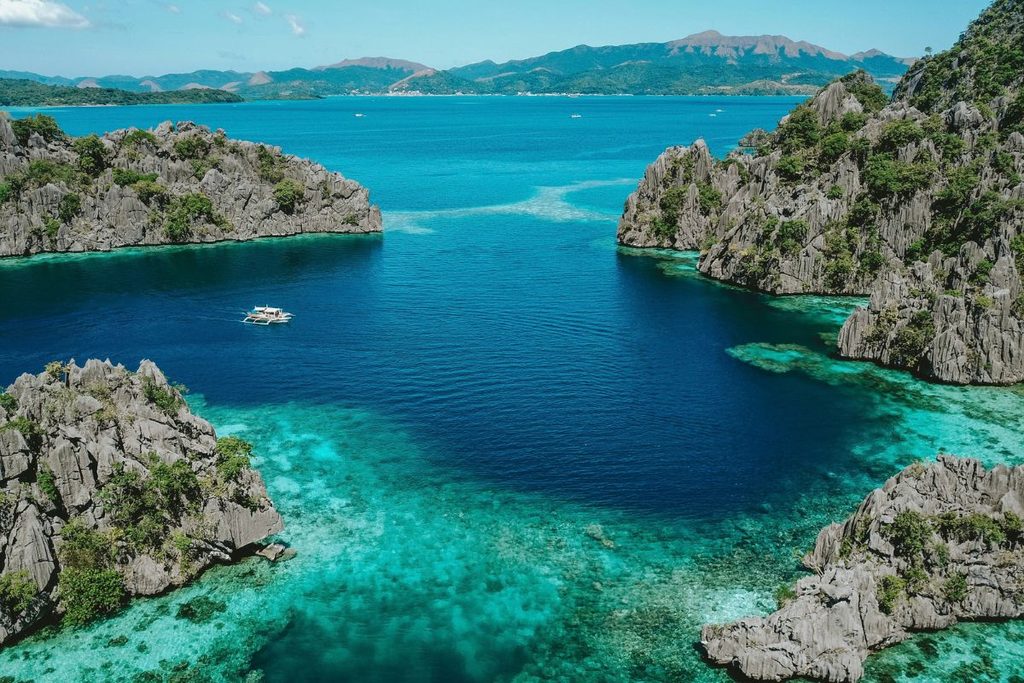
Travelling between several islands can involve domestic flights, ferries and road transfers, so allowing enough time in each location reduces pressure to photograph everything in one day. Tide tables, weather forecasts and current access arrangements should be checked before setting out. Drone operators and underwater photographers also need to follow local regulations and site-specific safety rules. Checking these details in advance of your trip to the Philippines helps photographers arrive when the tide, light and access conditions suit the subject.
Images courtesy of unsplash.com and pexels.com